DEPRECATION WARNING
This documentation is not using the current rendering mechanism and is probably outdated. The extension maintainer should switch to the new system. Details on how to use the rendering mechanism can be found here.
What does it do?
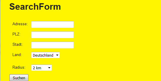
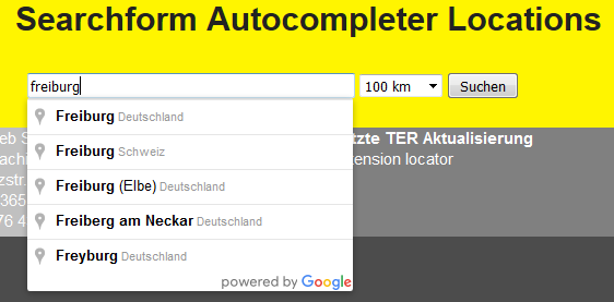
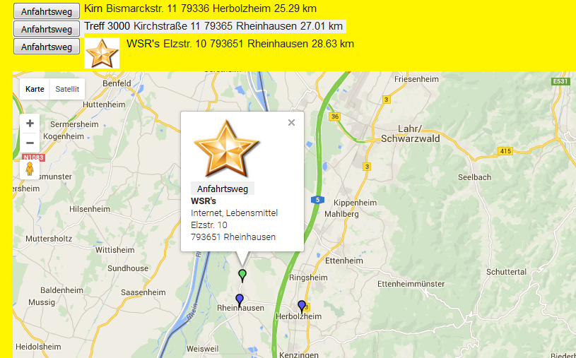
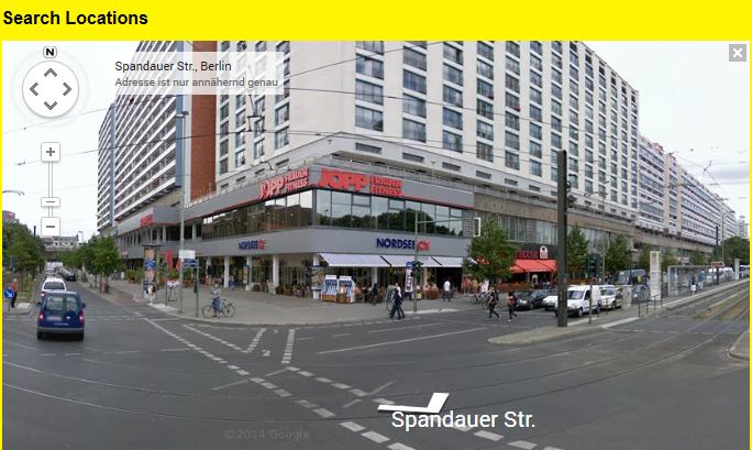
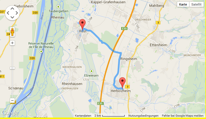
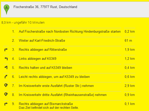
The extension enables you to do a radial search for locations and display them in a list and a responsive Google map with Google infoWindows. The driving route to a location can be shown in Google maps too. The extension is based on multiple plugins. This way you can use more than one plugin of the extension on the same page. There are two searchforms, one with Google’s autocompleter. A single view of the location is implemented too, this can be used to display just a Google map without doing a search when the locationUid is given in the constant editor of TYPO3. Google’s streetview, traffic layer and bicycling layer can be activated too in the constant editor.
What’s new?
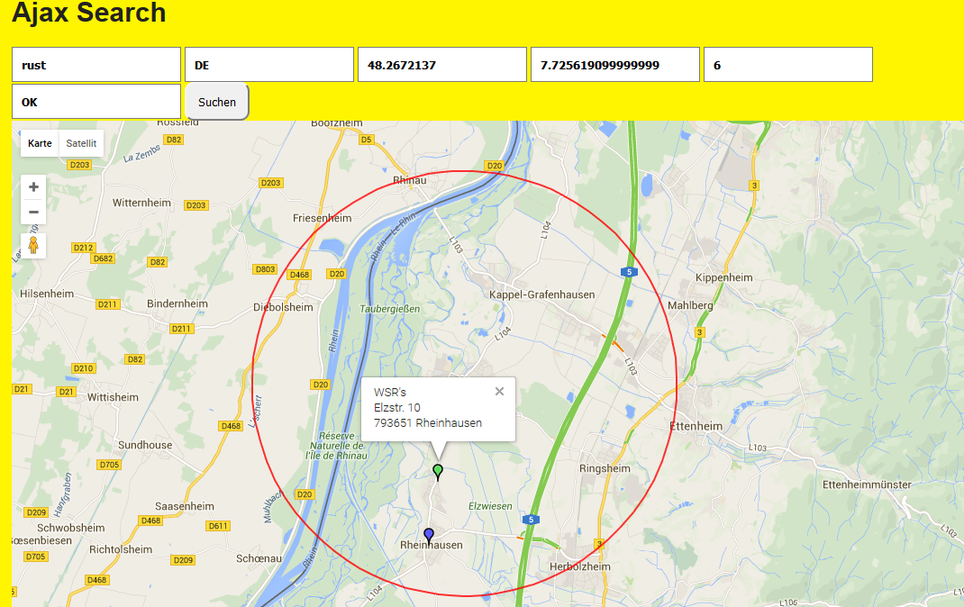
The extension works now with two Google API keys, a Google Browser API key and a Google Server API key. The Server API key is used for geocoding of locations, especially for searching coordinates in the AjaxSearch plugin and for geocoding data records which have no coordinates. MarkerClusterer implemented, you can activate this option via constant editor. The ajaxSearch shows n=resultLimit locations in the map when the page is loaded. Other locations are loaded by lazy loading and a show more button at the end of the page. The ajaxSearch works with the Google autocompleter. Location categories implemented to limit the searches. Plugin ajaxSearch implemented, new configuration option enableSearchCircle for ajaxSearch. The POIs (Points of Interest) are animated when they are shown in the map. The configuration of the extension is done with the constant editor or with typoscript.