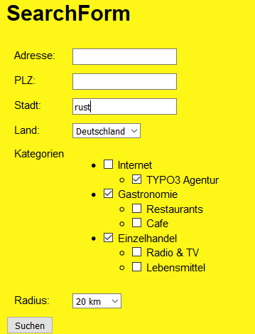
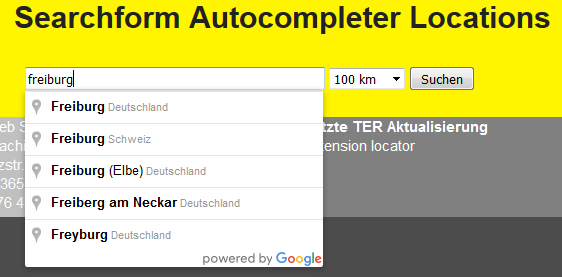
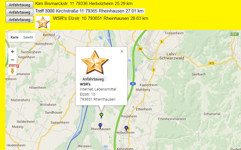
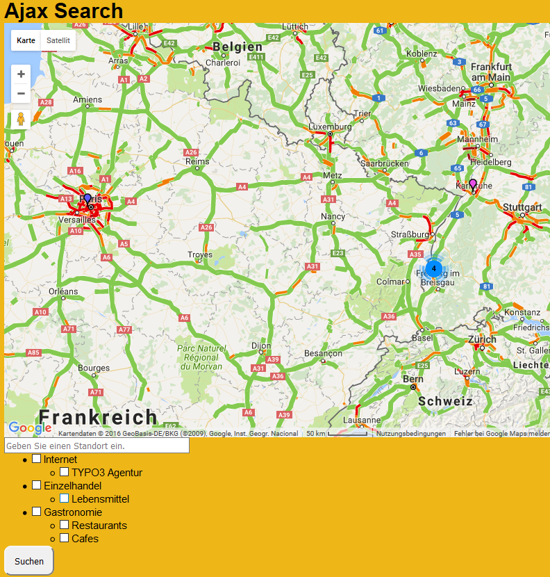
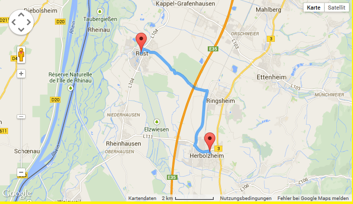
The extension enables you to do a radial search for locations and display them in a list and a responsive Google map with Google infoWindows. The driving
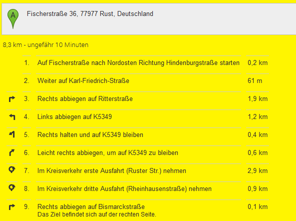
route to a location can be shown in Google maps too. The extension is based on multiple plugins. This way you can use more than one
plugin of the extension on the same page. There are two searchforms, one with Google's autocompleter.
A single view of the location is implemented too, this can be used to display just a Google map without doing a search when the locationUid is given
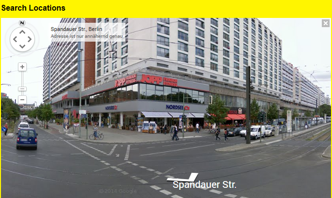
in the constant editor of TYPO3. Google's streetview, traffic layer and bicycling layer can be activated too in the constant editor.
Import the extension from TER (TYPO3 Extension Repository) like any other extension.
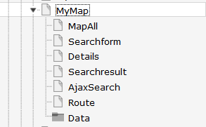
Create some pages as shown below.
On the pages Single, Searchform, Autocompleter, Result and Route insert the suitable plugin of the extension. On page Single insert the plugin "search".
On page Result insert the plugin Search.
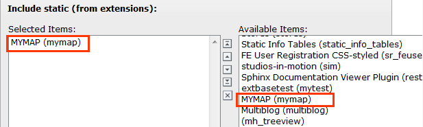
On page Mymap or on your root page insert Typoscript Include static (from extension) mymap.
With the constant editor insert the desired settings of the extension like Google maps options, your page ID's,
jQuery options, path to templates etc. Traffic layer and bicycling layer could not be set both at the same time!
You have to get a 2 Google API keys. One as a Google Browser API key and one as a Google Server API key (for geocoding) from
here https://console.developers.google.com and insert them in the constants editor.
After fetching the keys you have to activate the Google Maps JavaScript API and the Google Maps Geocoding API.
When everything is working (geocoding and map display) you can restrict the browser key with http url and the
server key with ip address of the webserver to prevent illegal use of the keys.
The data of the locations and categories is stored in page Data. Insert in the constant editor
the correct "Default storage PID" of the locations.
Inserting data
In TYPO3 list module select page Data. First insert some location categories.
Then you can insert some locations. You have not to insert the coordinates. The plugin
fetches the coordinates automatically from Google. To get this working, it is important that you insert
correct location data (city and country at least). If you don't insert some icon, the extension uses a default icon for the
POI's.
When everything is done you can start a search in frontend.
Update script
The extension has an update script which migrates icon-, image- and media-files to FAL.
It is important to backup the database tables tx_mymap_domain_model_location and sys_file_reference before
executing the update script. To execute the update script you have to make a file named ENABLE_MYMAP_UPDATE_SCRIPT in
fileadmin. If this file is not found in fileadmin a hint is shown and no update is done.
Enables the bicycling layer in the map. Only traffic- or bicyling layer are shown, not both together!
Default
enableStreetView
Property
enableStreetView
Data type
boolean
Description
Enables the streetview in the map.
Default
resultPageId
Property
resultPageId
Data type
int
Description
Id of the result page, especially when used with ajax search or search form insert the plugin search on the page with this id. Do not use the plugin singleView on this page.
Default
detailsPageId
Property
resultPageId
Data type
int
Description
Id of the details page
Default
routePageId
Property
routePageId
Data type
int
Description
Id of the route page
Default
singleViewUid
Property
singleViewUid
Data type
int
Description
Uid of the loaction record to be shown with the single view plugin.
Default
1
resultLimit
Property
resultLimit
Data type
int
Description
Limit the result to n records
Default
300
enableMarkerAnimation
Property
enableMarkerAnimation
Data type
int
Description
If set to 1, markers are dropped down to the map
Default
0
enableMarkerClusterer
Property
enableMarkerClusterer
Data type
int
Description
If set to 1, markers clusterer are shown (clustered POI's), especially in ajaxsearch plugin
Default
0
initialMapCoordinates
Property
initialMapCoordintes
Data type
string
Description
Initial map coordinates [latitude,longitude]
Default
48,8
Events
Existing events in LocationController.php to modify location(s) by third party extension.
No images/icons are shown - if you use the fluid <f:image …> tag in the templates, make sure you have set a one level Slug.
No map loaded - ReferenceError: $ is not defined
Make sure, you have loaded the jQuery on top of the page. This can be done with the constant editor of TYPO3 and the mymap
category (plugin.tx_mymap.view.includejQueryCore).
Do not use double quotes in fields, which are shown in the infoWindows, because this will break the javascript.
The extension uses heavily the $('....')-function of jQuery. So, make sure the
$-function is available and you do not use the noConflict-mode.
If something goes wrong with geocoding check the answers from Google with tools like firebug and check
the answers you get from from google in console or networking.
AjaxSearch
Set the Default Storage Pid of the locations in the constant editor.
FAQ
Custom templates and files
You can use your own template and CSS file or other jQuery library - just go to the TYPO3 constants editor and change
the values for your needs.