Introduction
What does it do?
- Show an interactive OpenStreetMap map.
- Store coordinates in fe_users and tt_address tables and show as markers in the map.
- Show record information in popup window.
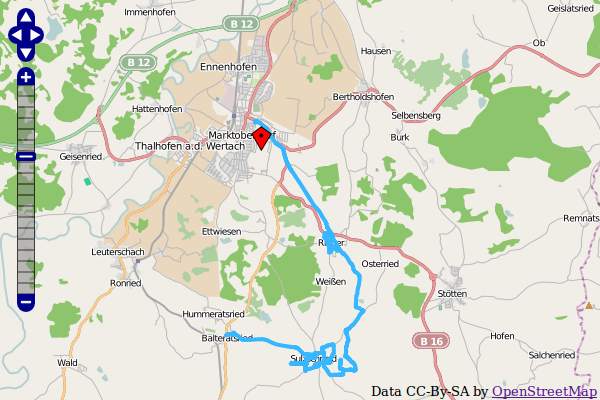
- Display gps tracks.
Donation
This extension was only possible with the help of many other free projects.
You’re likely using one of the main map “Mapnik”, “Osmarender” or “Cyclemap” - feel free to donate to the OpenStreetMap project http://donate.openstreetmap.org/
If you are using the address search (autocomplete longitude and latitude in address records), please donate the service you use:
Geonames: http://www.geonames.org/donations.html or buy some credits there.
Nominatim: http://donate.openstreetmap.org/
And don’t forget the main components: http://typo3.org/ and http://openlayers.org/ or http://leaflet.org/